Dispersion modelling

Protection of the population and ecosystems take priority if there is an unplanned release of radioactivity. To do so, it is essential to identify the areas most at risk from radioactivity as early as possible. However, before any radioactivity is released (in the pre-phase) no radioactivity measurements are available. Therefore, the hazard can only be estimated with the help of numerical modelling on the basis of the actual situation in the plant and the weather conditions.
Dispersion calculations for Swiss nuclear installations
Using atmospheric dispersion calculation, ENSI’s emergency organisation (responsible in accordance with Article 9 of the Emergency Preparedness Ordinance) is able to predict in which direction a radioactive cloud will move after it escapes from a nuclear installation and from what time which areas will be affected. In this way, the population can be alerted in advance and precautionary protective measures implemented. Moreover, an atmospheric dispersion calculation forms the basis for a targeted use of measuring bodies and emergency services.
In the event of an accident with the risk that a hazardous quantity of radioactivity could escape into the environment, ENSI uses the ) system for atmospheric dispersion calculations.
A brief explanation of the JRODOS system
Initiated by the German Federal Ministry for the Environment, Nature Conservation, Building and Nuclear Safety, it was developed by the Karlsruhe Institute of Technology (KIT) within the framework of the EURATOM research framework program. The program development is controlled by the RODOS Users Group RUG, the assembly of all registered JRODOS users. ENSI participates directly in this development and ensures that its own concerns are taken into consideration both through its membership of RUG as well as through its service and maintenance contract with KIT.
The modular design of the system allows the definition of model chains that comprise a sequence of individual modules, each of which handles specific tasks. In total there are over 25 modules available for dispersion simulations, dose calculations, modelling of food and animal food chains, calculation of the effects of protective measures, etc.
LASAT
ENSI has actively supported the implementation of the LASAT (Lagrange Simulation of Aerosol Transport) program code into the module for dispersion calculations. This program code was developed by Janicke Consulting Environmental Physics and computes the transport of trace substances in the atmosphere by performing a computer simulation of the transport and turbulent diffusion using a random walk process applied to a group of representative particles (Lagrangian simulation). LASAT is based on a research model that was developed in 1980 and has been tested in various research projects. It has been available since 1990 as a software package and it is used by national authorities, TÜVs (German safety and compliance consultancies) and other assessors as well as within industry in general. It served as the basis for the development of the dispersion model AUSTAL2000, which is the official reference model specified by the German regulation ”TA Luft” (Technical Instruction On Air Quality Control). LASAT conforms to guideline VDI 3945 Part 3 and can be used for a wide range of applications, amongst others: TA Luft, accidental releases, screening, odorants, bioaerosols, radio nuclides, and moving sources.
JRODOS allows the direct use of 3D weather forecast data from the model which is routinely used by the Swiss weather service, MeteoSchweiz / MeteoSwiss. This provides forecasts with high spatial and temporal resolution for up to 24 hours in the future. Using these weather forecasts, the 3D data is converted to a smaller scale using a wind field model to obtain the resolution required by the dispersion model such that simulations can be performed at a higher spatial resolution than that of COSMO-1.
Apart from the wind field, the resolution of the terrain (orology) plays an important role. The small-scale landscape of Switzerland and the southern part of Germany is very demanding in this respect, because of which JRODOS uses the best elevation model (DHM25) available from the Swiss Office of Topography, SwissTopo.
The main advantage of the system is its much larger simulation domain; further improvements are synergies with the National Emergency Operations Centre NEOCZ, MeteoSwiss and the responsible German authorities.
JRODOS in the context of preparedness
JRODOS is operational for all nuclear installations:
- Routine simulations with a unit source (1 Bq/s) are performed automatically around the clock at an hourly rate for three different release heights.
- In the event of an incident as well as during emergency exercises, incident-specific calculations are available no later than one hour after the ENSI emergency organisation has become operational.
The main purpose of the routine calculations is to ensure the permanent availability of the system and the monitoring of the current dispersion situation (forecasts for the next six hours). Moreover, in the event of an incident, routine calculations can be used for a first assessment.
The main purpose of the incident-specific calculations in the pre-phase and cloud phase is the assessment of the hazard for the population in the area surrounding the nuclear installation if a radioactive release has already occurred or is impending. The calculations serve as a basis for defining the extent of the area at risk as well as to aid in deciding about potentially necessary measurements and measures for protection of the population.
History: why the changes?
Until 2016, ENSI used the program ADPIC for dispersion calculations, which achieved its last upgrade in 2011. ADPIC always conformed to the state of the art in science and technology and was internationally recognised. To be able to satisfy quality requirements in the future, the continuous development of a dispersion modelling system is essential.
Therefore, in January 2011, ENSI initiated the project RADUK (radiological dispersion calculations in the vicinity of nuclear installations), which was aimed at the replacement of ADPIC by a modern system. The result of this is the operational use of the European platform JRODOS in combination with the LASAT dispersion module since 2016 at ENSI.
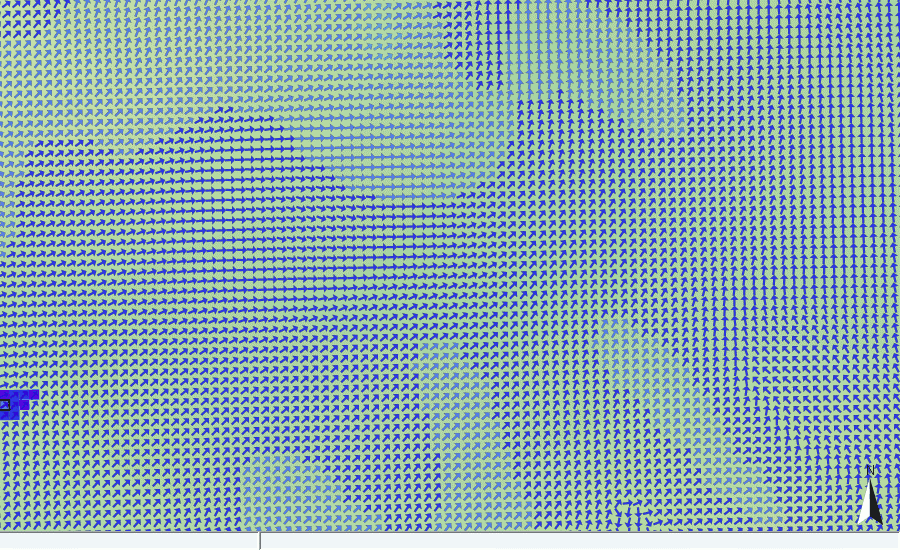
Example of a dispersion calculation